

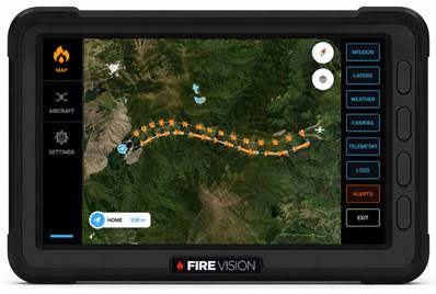
GeoSim Technologies has further enhanced its agricultural flight simulation capability with the integration of real-world GPS guidance systems into its simulator platforms.
GeoSim’s proprietary software bridge enables the Tabula GPS Guidance System to interface directly with the simulator, allowing pilots to train using the same type of GPS guidance equipment they operate in the aircraft.
Recognising that operators use different systems, GeoSim can also develop custom software integration for AG-NAV, Satloc and other customer-specified GPS systems, providing a simulator tailored to an operator’s actual aircraft configuration.
This capability allows agricultural pilots to practise swath guidance, positioning, approach planning and operational procedures in a safe and repeatable training environment before taking to the aircraft.
Real equipment. Real procedures. Better preparation.